Login


St Matthew's & Good Shepherd
Lutheran Church Cemetery
1891


St Matthew's & Good Shepherd
Lutheran Church Cemetery


- History and Directions -


St. Matthew's Lutheran Church was formed on May 6, 1891. Initially the cemetery was at the far south section of the property, but after the turn of the century, the new rail-line split the property. This is the way it remained until St. Matthew's built at their present location, and had their dedication on November 27, 1960.
A historic photo of the St Matthew's Cemetery and Church

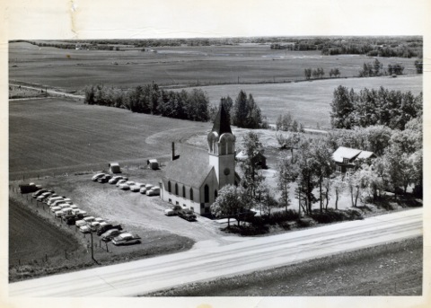
A historic photo of the St Matthew's Church and Cemetery


The old church which was to be a historical site as the oldest Lutheran Church west of Winnipeg, burnt to the ground on November 29th, 1963. The metal cross at the top of the steeple somehow managed to be undamaged by the massive fire and was found on the ground the next day.

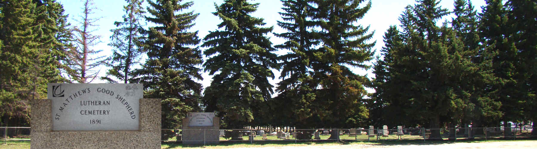
The cemetery has joint use between St. Matthew's Lutheran ELCIC, Spruce Grove and Good Shepherd Lutheran ELCIC, Stony Plain. At the time of Good Shepherd forming in 1938, many of the forming members, were members at St. Matthew's prior and had already family buried at this cemetery.

A view East across the cemetery

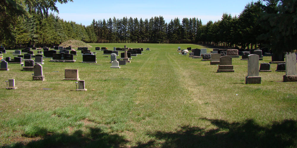
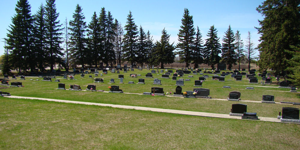
Looking East across the cemetery.


The St Matthew's Lutheran & Good Shepherd Cemetery is surrounded by large sruce trees.  There are concrete foundations for monuments

In St Matthew's Cemetery new plots are provided with a concrete foundation for monuments.


The engraving on the back of the stone sign reads:

St Matthew's Lutheran Church was organized on June 30th, 1891 by Rev. Pempeit and several of the original German Galacian settlers to the district.

This sign commemorates 100 years and was a joint project of St Matthew's and Good Shepherd (1938) cemetery committees.

Alex Ziegler built the first sign to adorn this cemetery for many years and he designated this cemetery "Gods Holy Acre"

Erected 1991


- Directions to the Cemetery -


The St Matthew's & Good Shepherd Lutheran Churches cemetery is located on the West side of the city of Spruce Grove. The cemetery may be reached by turning south off Highway 16a west at Jennifer Heal Way( previously known as Campsite Road ), and travelling south 1 block.

Legal Land Description: Plan 1422MC; Block 5, NW 33 52 27 W5M


You may use the Cemetery link to view a map of the cemetery and search the current interments in the cemetery.

Click the Information link to get more detailed information about interment at St Matthew's Cemetery

If you have any further questions or comments on our website, please use the Contact link to contact the cemetery caretaker.